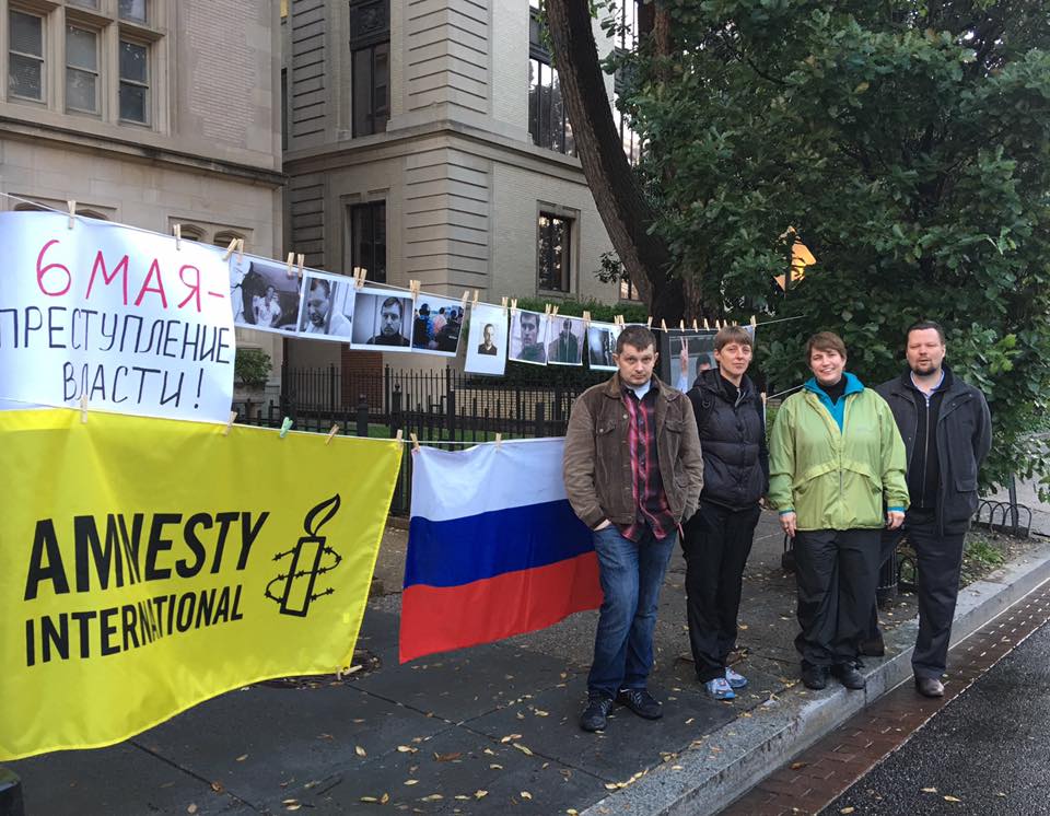
By Viachaslau “Slava” Bortnik, Chair of Eurasia Coordination Group at Amnesty International USA.
The World Ice Hockey Championship is taking place in Russia from May 6-22. It is ironic that the championship started on the day of the fourth anniversary of the Bolotnaya Square events.
On May 6, 2012, tens of thousands of people marched through the center of Moscow and sought to gather in Bolotnaya Square in protest of the disputed results of the election in which Vladimir Putin had been re-elected Russia’s President. Most never got that far. SEE THE REST OF THIS POST